


Carrick on Shannon, 2014.

Perhaps only in Ireland would you find a Chapel and Bar paired next to each other.

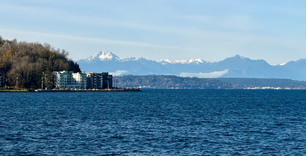
Seattle, 2013

Grand Central Station, March, 2010.
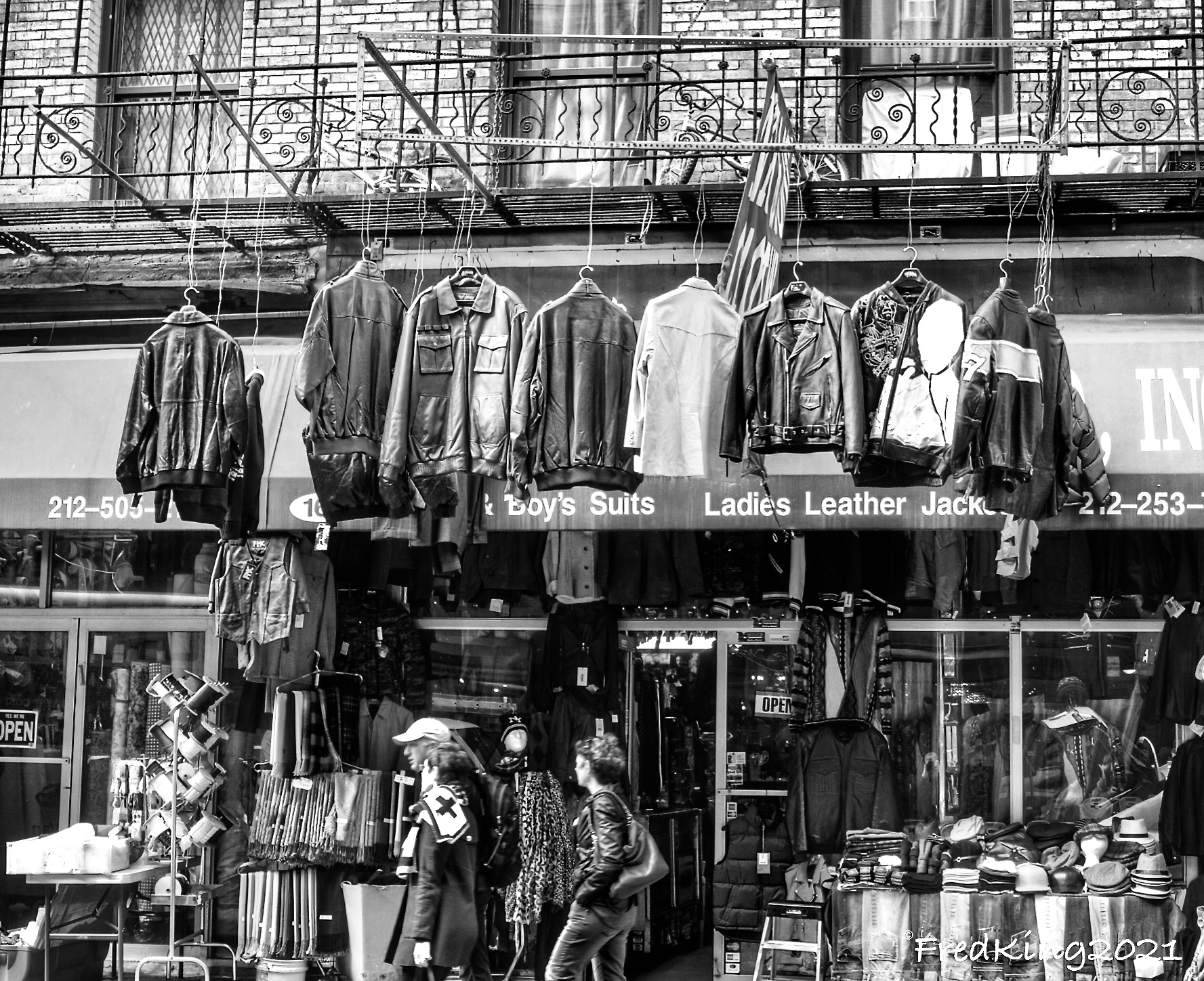
Hanging leather. Lower East Side, Manhattan, NYC. ( 2014)

“Save Water” , Lower East Side, Manhattan, NYC (2014)
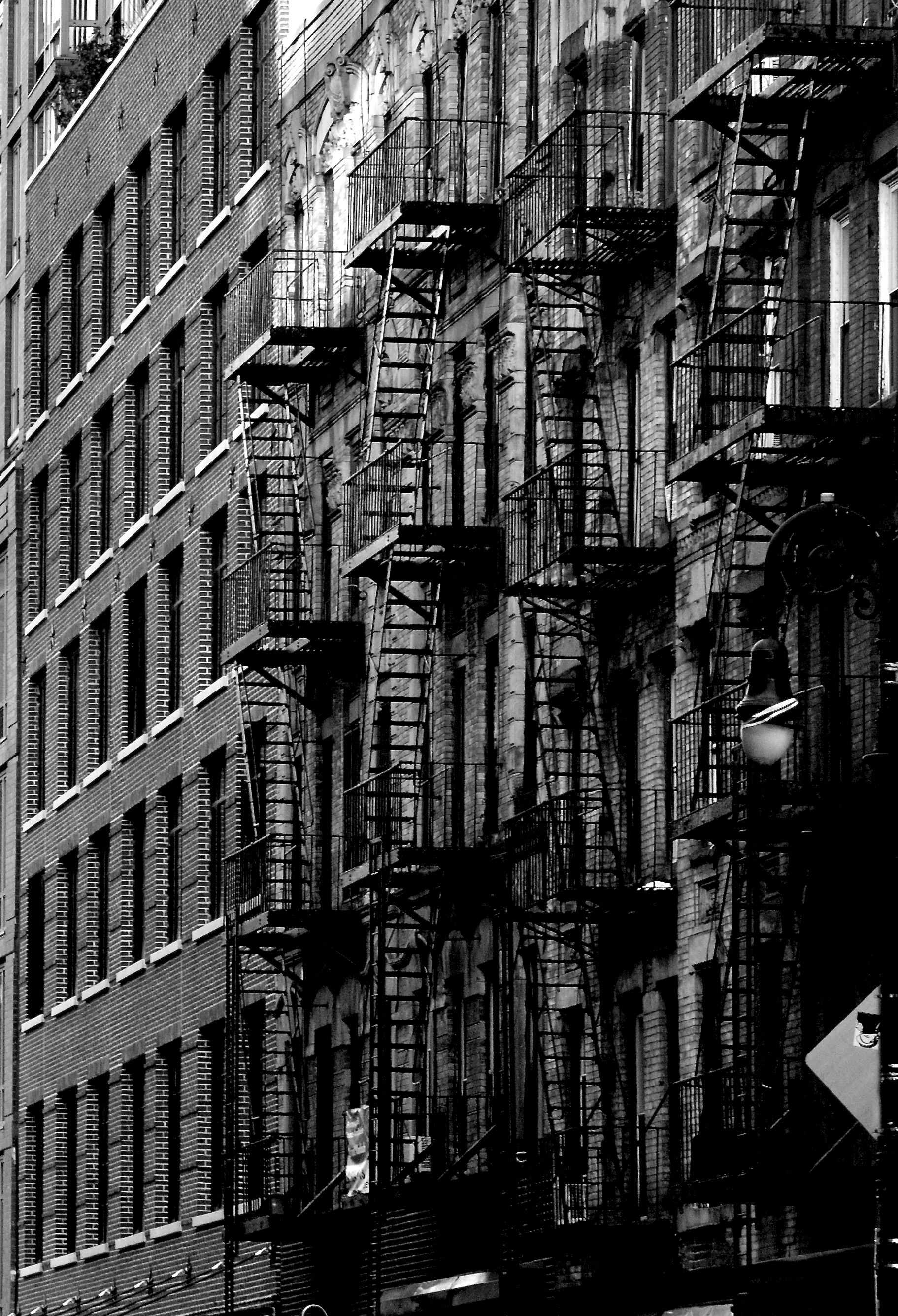
Fire Escapes, Manhattan, NYC ( 2014)


Taken years ago. Top image is of the Manhattan Bridge-from the Brooklyn side of East River (DUMBO are= Down Under the Manhattan Bridge Overpass).
Bottom Image: Brooklyn Bridge in background – taken 2012.


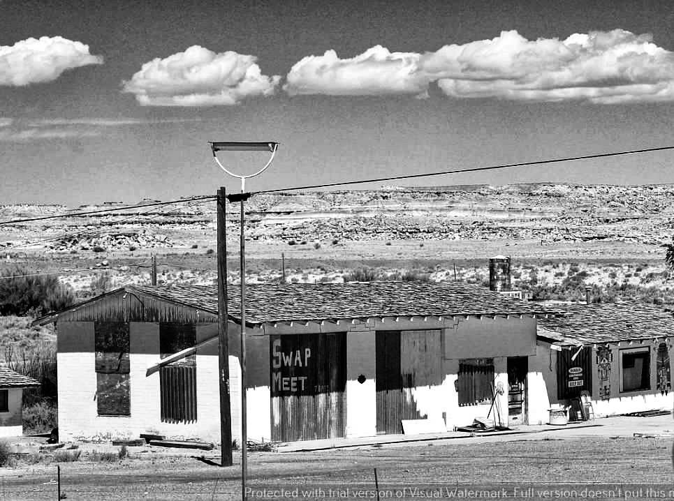
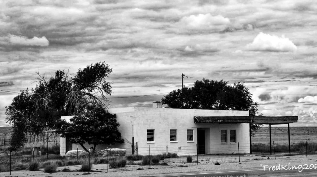
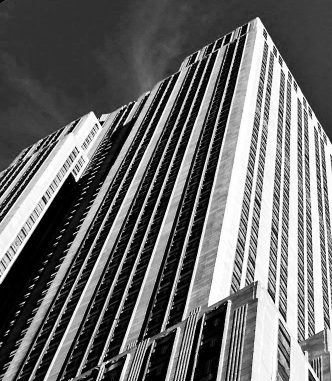
8 years late in getting these posted. Life can be distracting 😉.

Located at: 543 Union St., Gowanus, Brooklyn
Repurposed as art studios.
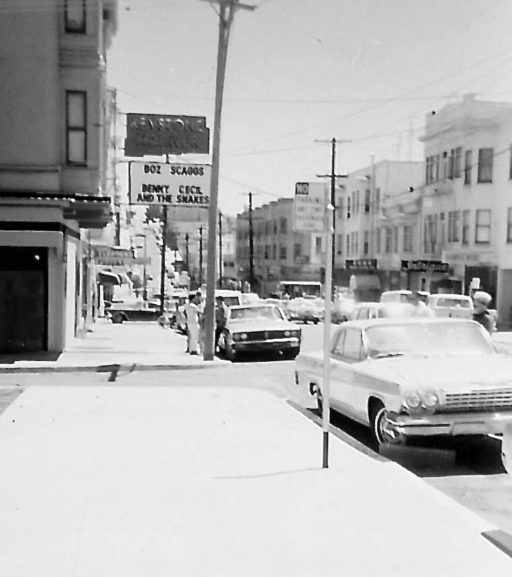
Located in San Francisco, Keystone Korner was a great venue for live music, especially jazz and blues. Apparently the venue moved to Baltimore. Also, there is some incorrect info on the web regarding the year the venue opened. One site listed it as opening in 1972. I believe the opening was in the late 60’s and operated until 1983. I was only 18 when this photo was taken so I wasn’t able to legally go inside. During this same trip I visited a club in Berkeley on Telegraph Ave. On that evening I stood outside of the service entrance and listened to Mose Allison for a couple of hours.
This image was scanned from a 110 50 year old print. Anyway, Boz Scaggs and Benny Cecil and the Snakes’ were on the bill.


From the WayBack machine, 1970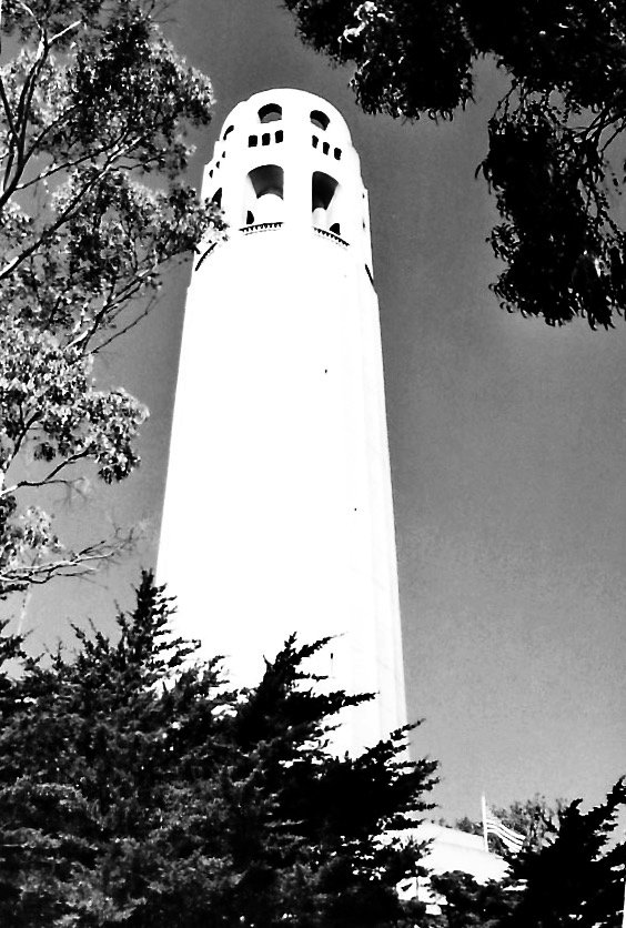
( find the flag 🤔🙂)
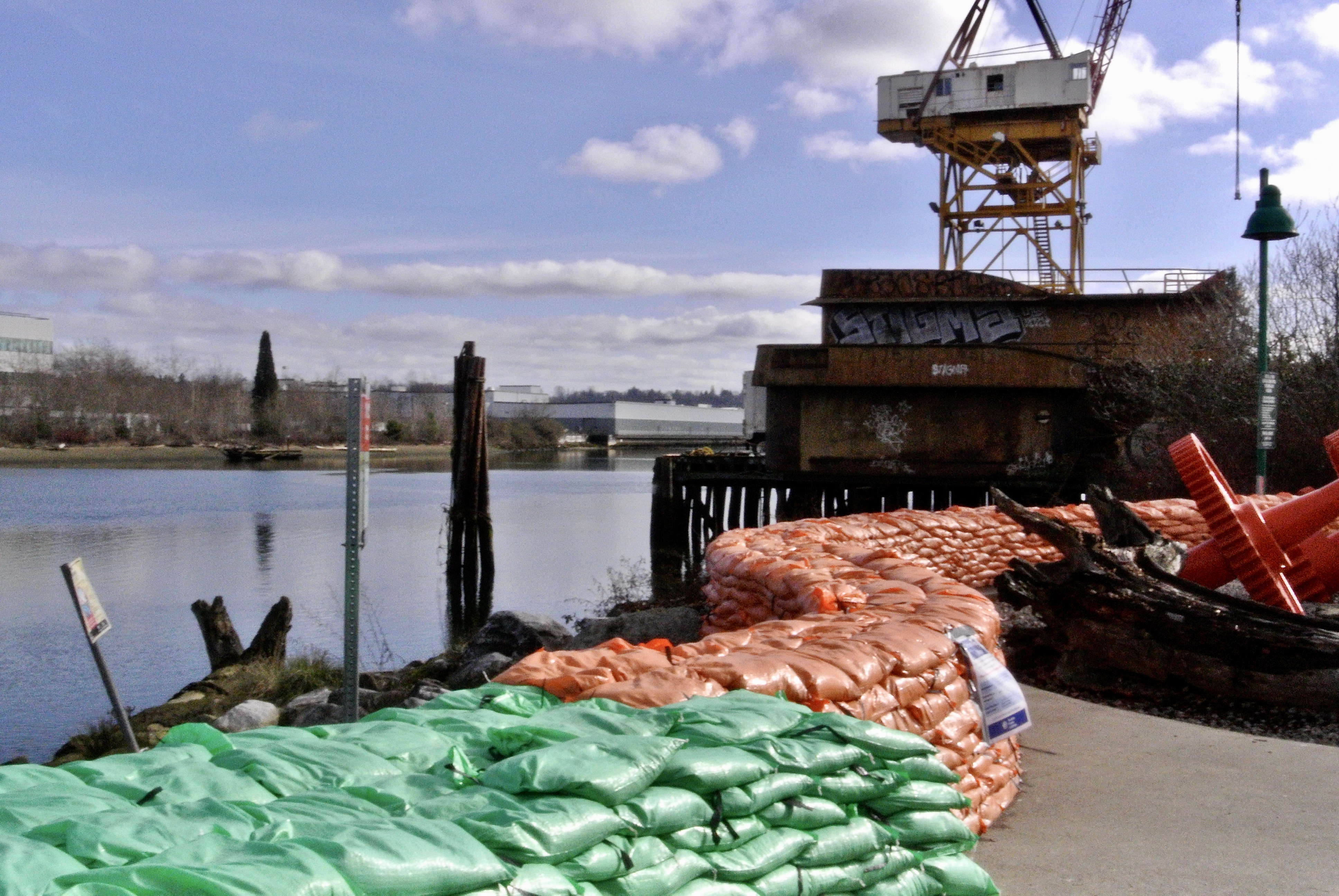


One of the locations that I have been shooting for the past decade is the South Park neighborhood in SW Seattle. Part of the reason for photo documenting this neighborhood is that I actually lived in the area for a short time before starting school. Also, it has been a neighborhood in transition for decades; it’s part residential, part light manufacturing and part indigenous heritage. This makes for an interesting mix.
This past winter we had both a very high tide and exceptional rainfall event. The result was that the Duwamish River overflowed its bank by two feet, which caused residential flooding. The city came in with a Laundry Trailer, which is still there, months later. Also, not pictured, is all of the POD units the city brought in for residents to store their non-flooded items. Basements were severely flooded in those houses closest to the river. The sandbags you see ( orange and green) were used to build a three foot wall, unfortunately this was done after the flooding event. The city has left most of the sandbags in place. I’m not sure what the overall plan is, going forward. In all of my years of spending time in this neighborhood I have never seen flood mitigation done on this scale. ( just as an aside- The Duwamish River was the very first EPA Superfund Site. Most of the offending industries have left this area, moving away from the river. However, after 50+ years, it is safe to say the federal government is slow-walking the cleanup. It would take a monumental dredging operation to clean up all of the heavy metals and toxins that have long settled on the river bottom).
I’ve been sitting on these photos and more for months as I just wasn’t sure how to present the after effects of an unusual flood event.
Committed to amplifying underground independent sounds.
We Live In A Dynamic Universe of Energy
Finding the Extraordinary in Ordinary, Everyday Life
The Dedicated Blog for Inga Maria Hauser
Taking Control... Learning Contentment
Street and Urban Explorer Photography
Just another WordPress.com site
The Truth Sets Us Free
A daily selection of the best content published on WordPress, collected for you by humans who love to read.
Street and Urban Explorer Photography
Child Abuse and the Occult
The Random Things We See
Street and Urban Explorer Photography