


Yesterday, on a Chamber of Commerce weather day, we took our two grandkids to the Pike Place Market to have lunch and to check out the refurbed section of the Market. We traveled by bus from West Seattle; I have to insert that I think comparing NYC Subways and Seattle Metro buses is likely close to happening).
Highlights of the images ( which are all shot on my iPhone, with the aid of a detachable lens are: The Wheel, Mt. Rainier, Elliott Bay, Alki Point in West Seattle and the soon-to-become extinct Viaduct/SR99.
One of the highlights of the outing was viewing and contributing to the new Gum Wall!
Anyway, the foray into downtown Seattle for a few of hours was about all my broken down body could endure. The current Seattle agency in charge of tourism promotion of the city seemed to be doing a bang up job as the Market was jam packed, even for a Tuesday!


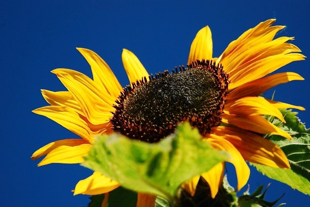 This image is from 2010.
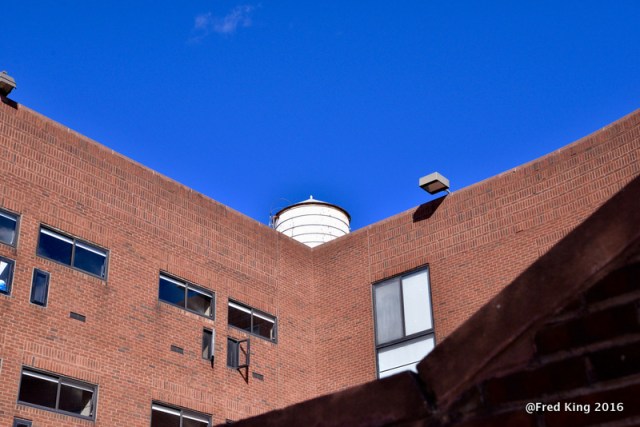

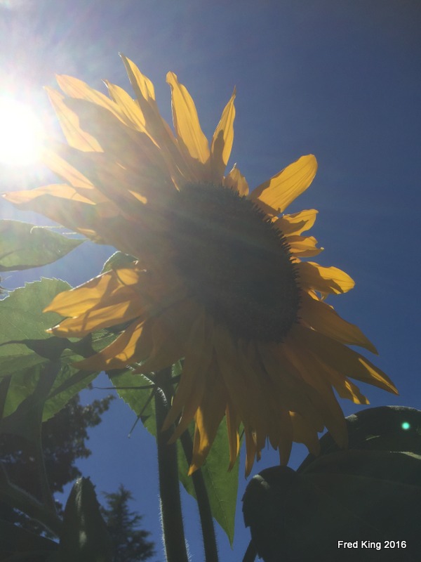


 Puget Sound and the Olympic Mountains in the background ( snow-topped) yesterday ( Mar.11th). We had a couple of hour window between rain storms :-).


