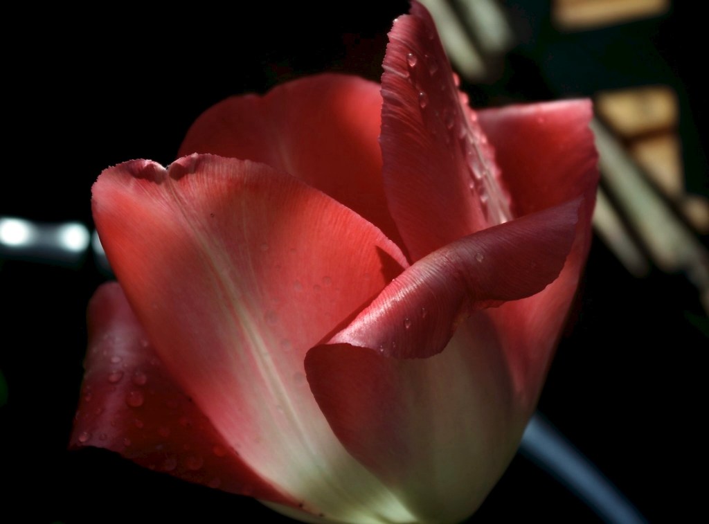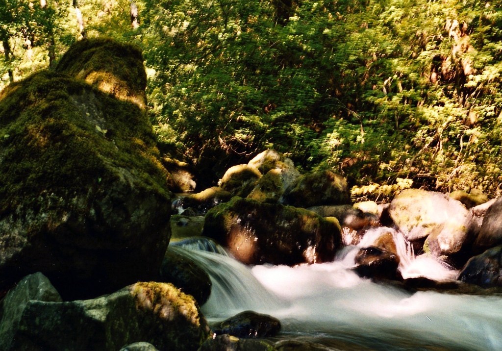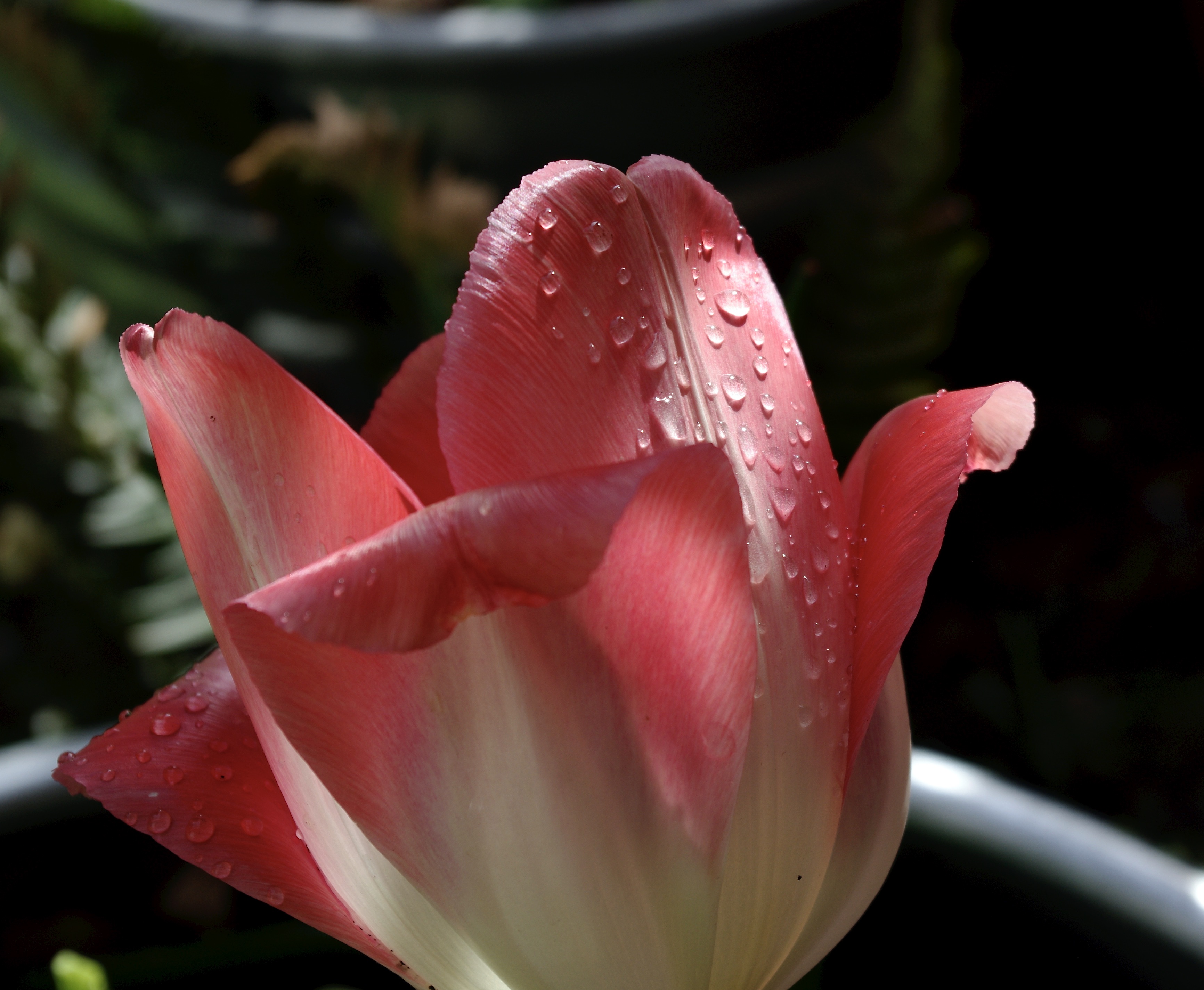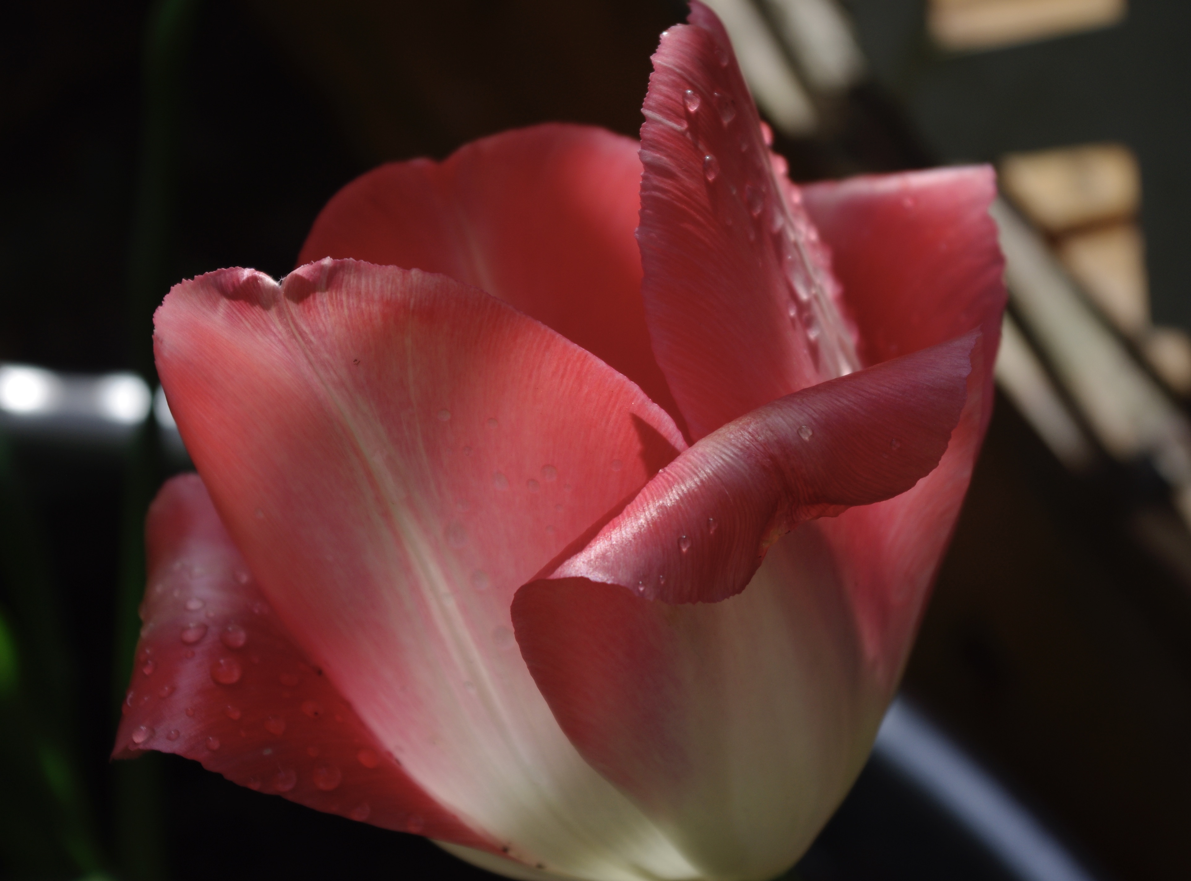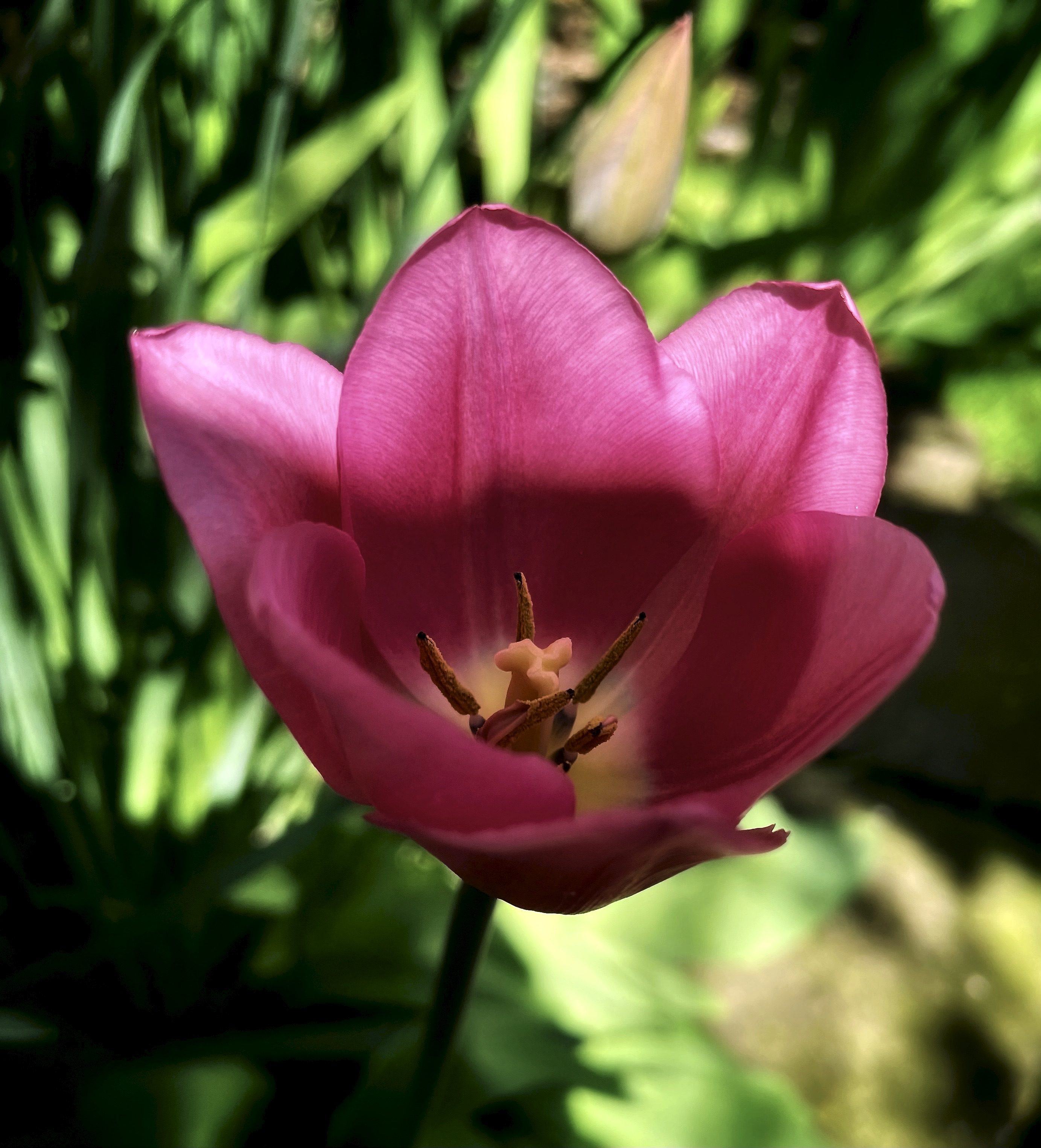
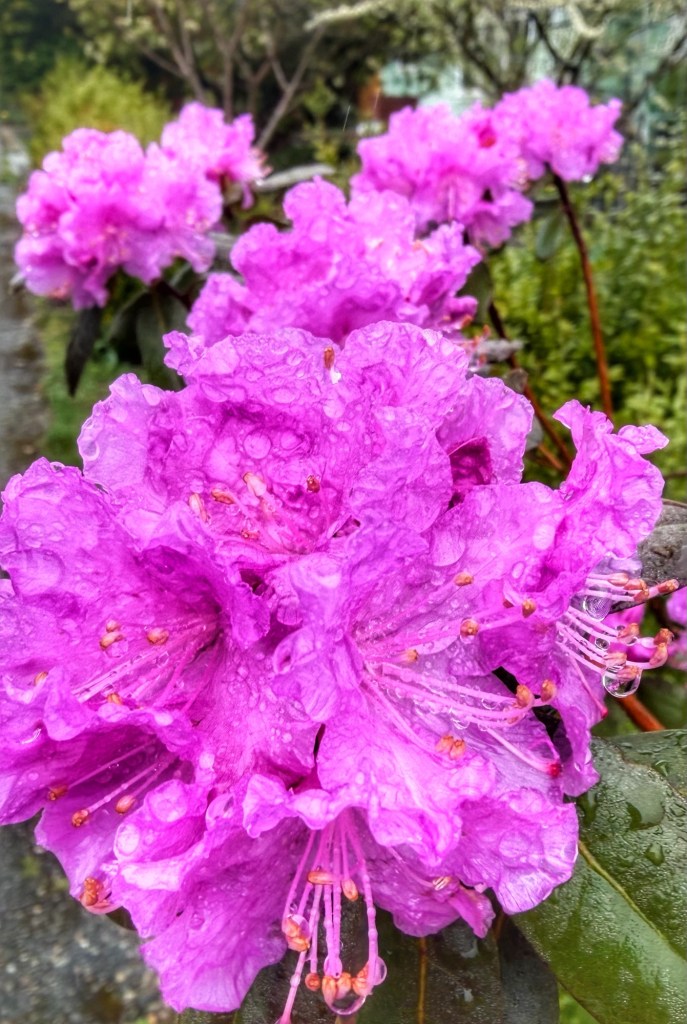
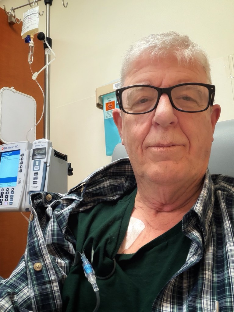
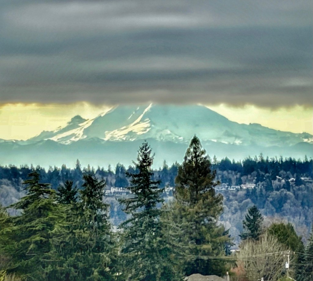
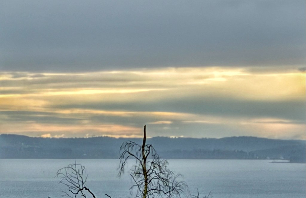
A few early Spring images from Seattle. Also, a shot me at the Cancer Center getting my 17th immunotherapy infusion.

A few early Spring images from Seattle. Also, a shot me at the Cancer Center getting my 17th immunotherapy infusion.
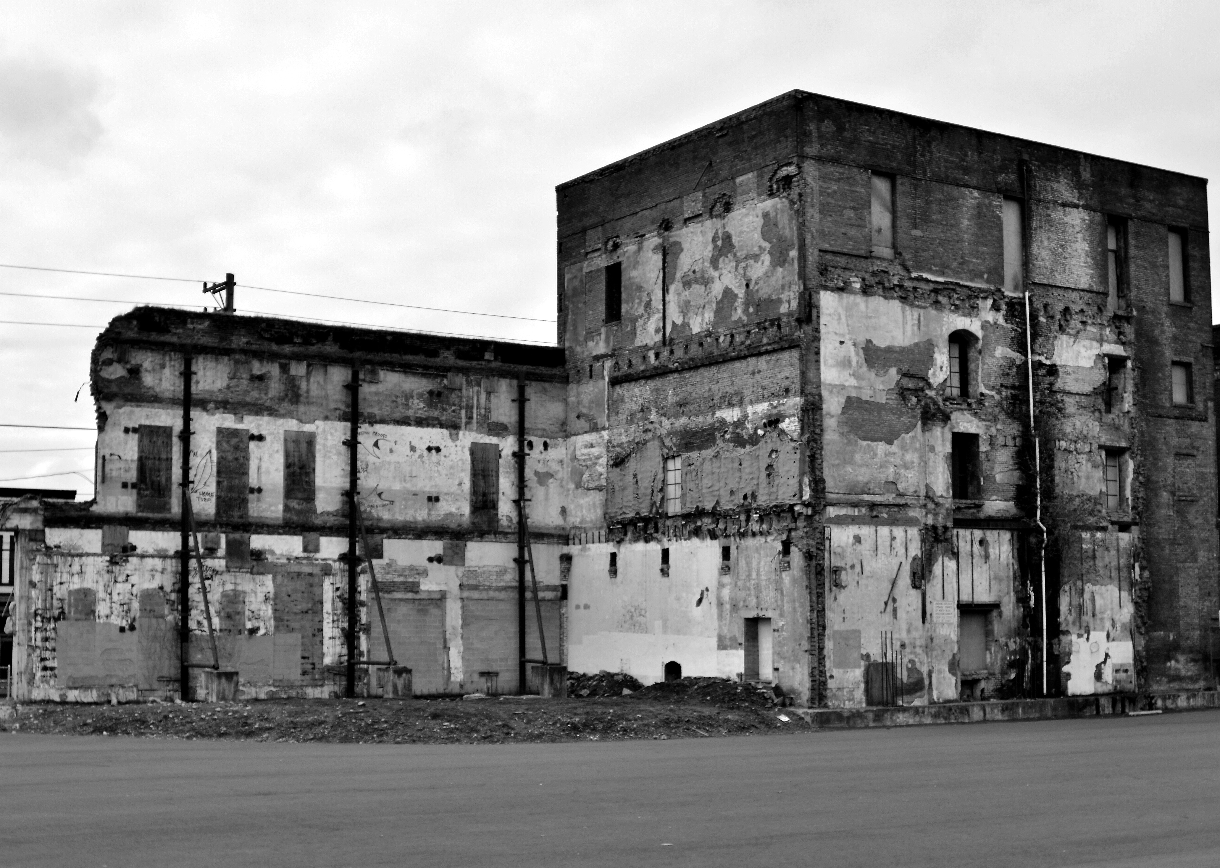
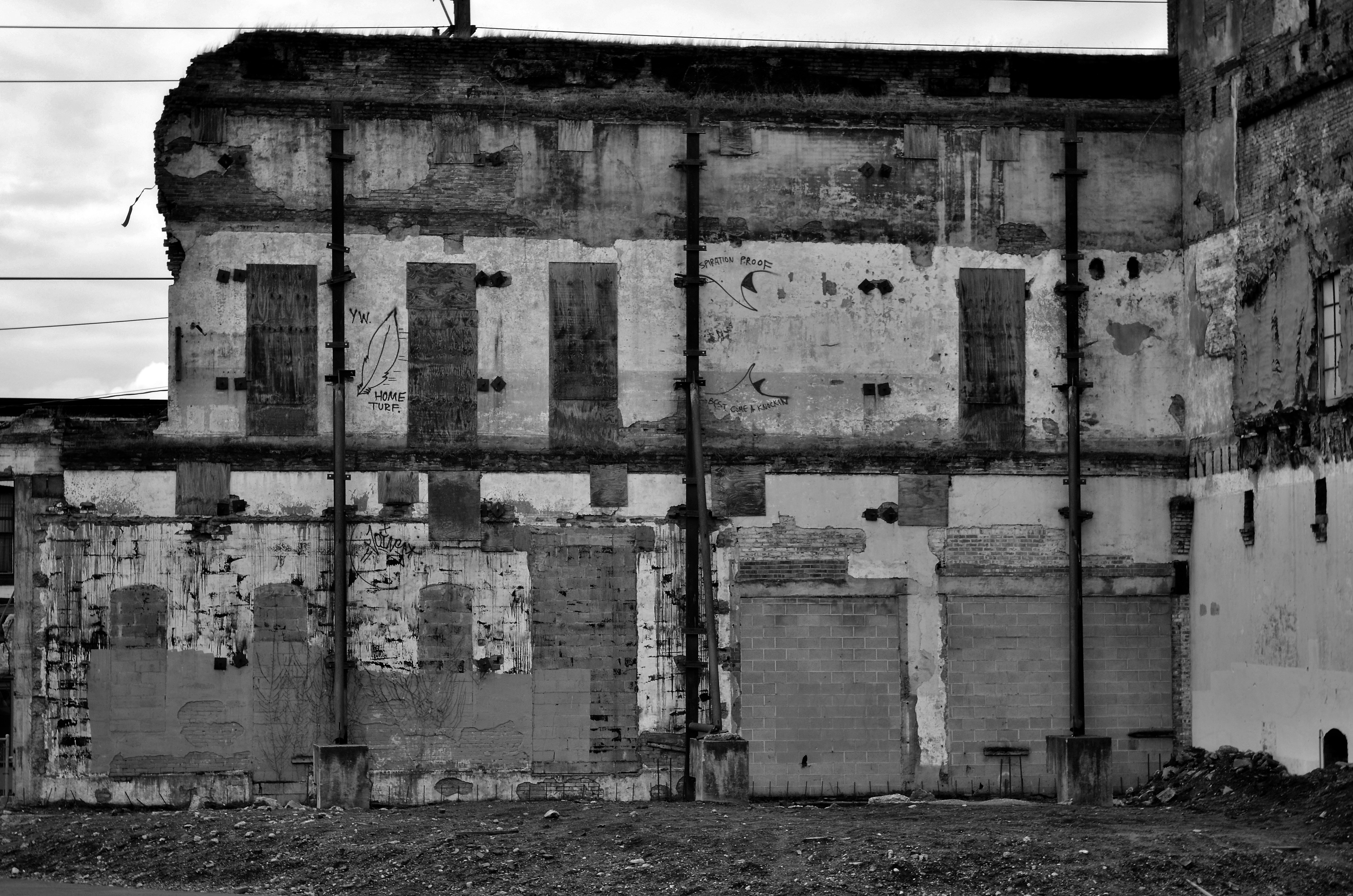
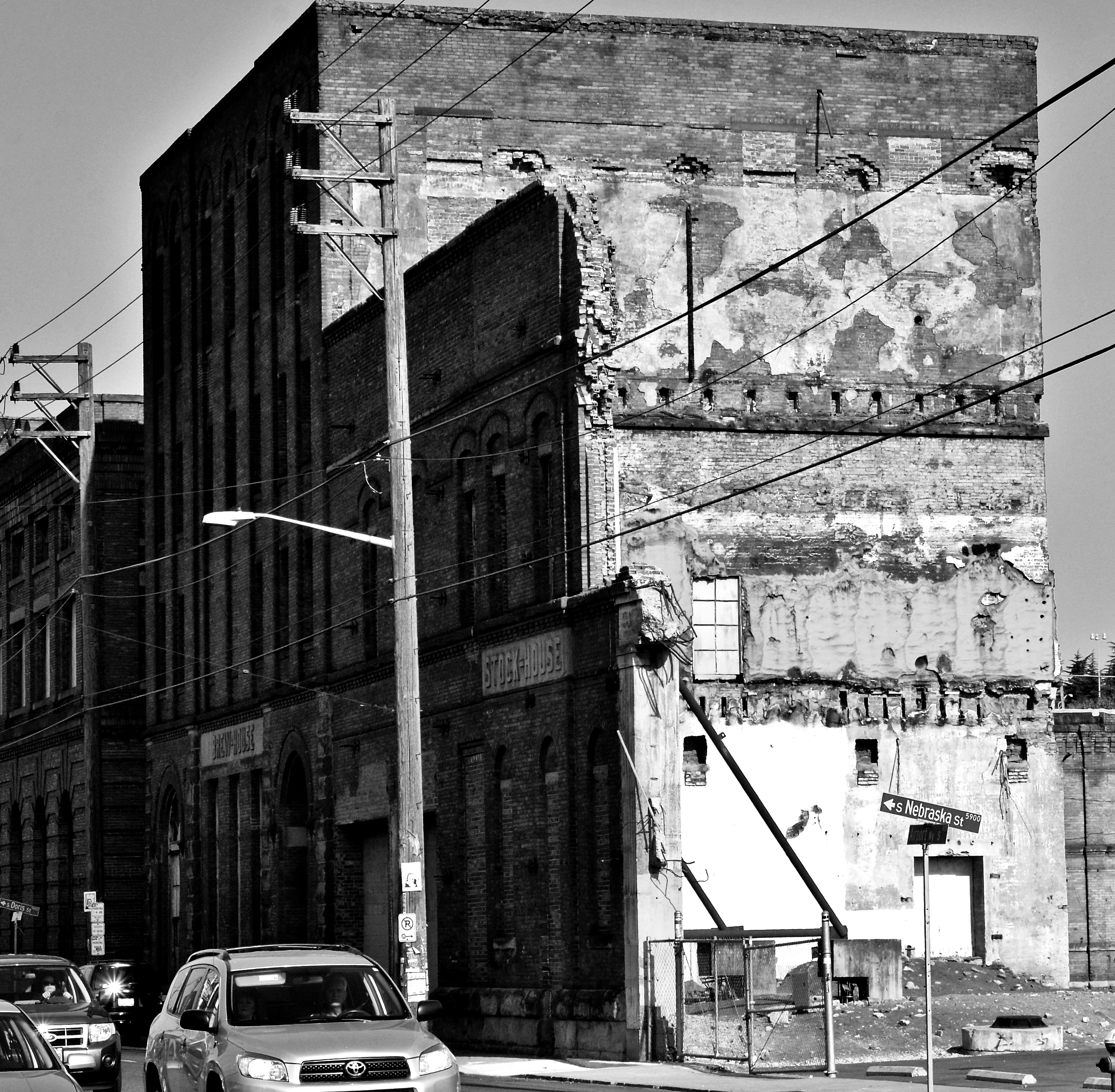
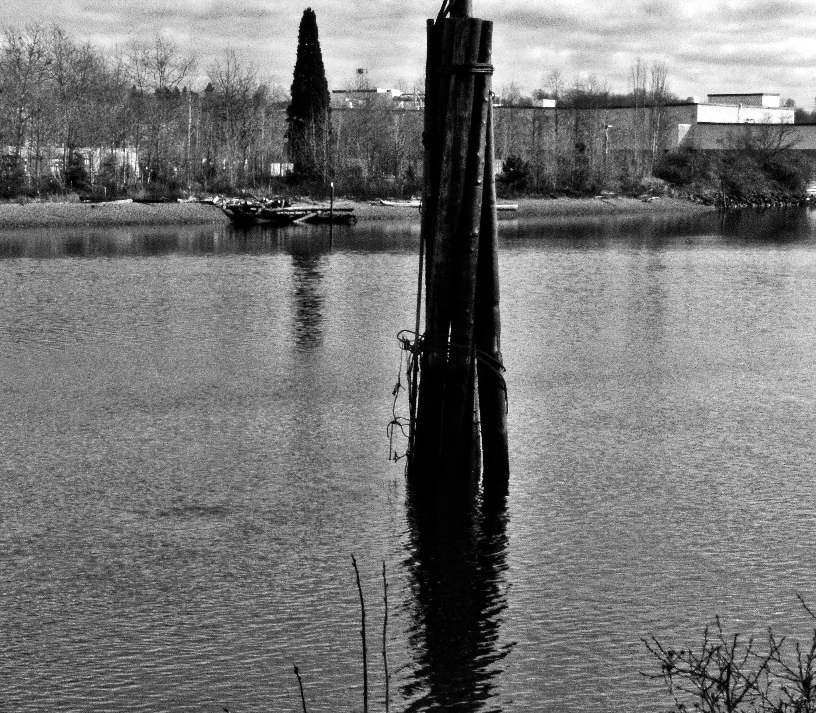
Some images taken in 2012 in the Georgetown area of Seattle. Years ago I was shooting in a few neighborhoods or sections of Seattle that seemed to be gentrifying faster than I could cover: Georgetown, First Hill and SODO. At the time of shooting these images, this wall ( if you zoom in a little), you can see the large, metal support poles holding this free standing brick wall. Developers, with the permission or encouragement of the City, rarely side with the notion of preservation. Eventually, this policy, destroys any hope for a sense of history to survive. If you control the perception of the past, by elimination, you lose the sense of connection to the history of our past.
{Quick health update: my last scan showed that the areas of concern are ‘stable’, which is good news. I’m still doing immunotherapy ( Durvalumab) every 28 days, which will continue ‘indefinitely ‘. Being a cancer patient for 18 or so months has been weird, but so far I think I’m one of the lucky ones.}

Ferry boat traveling Puget Sound and Elliott Bay in 2010.
A couple of stats regarding this blog:
16 years ago I took the risk, by dipping my toe into this emerging medium of photoblogging;
To date: 49.8K views.
605 subscribers!
Very humbling to know my journey is out there with this level of exposure.
Thanks to all! 🙏🏻👍🏻

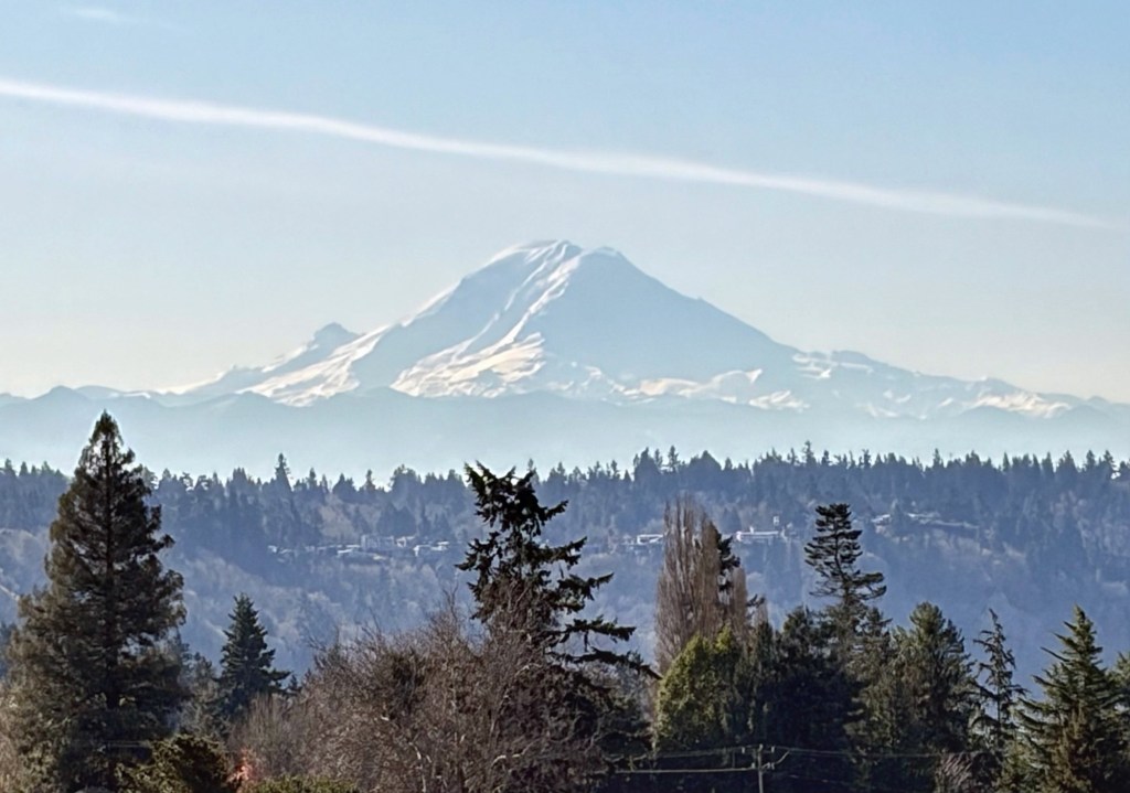
On my walk a few minutes ago. A cloudless sky in Seattle- who would’ve thought?
Note: health update coming next week. I’ve seen one of three doctors, after my last CT on the 8th. Two more still need to weigh in. Based on what the first oncologist said, I have a sense of where things are going. It’s a mixed blessing/bag. All good.
This journey started in 2018, with the first CT scan. It’s just the nature of ‘c’.
Blessings 🙏🏻
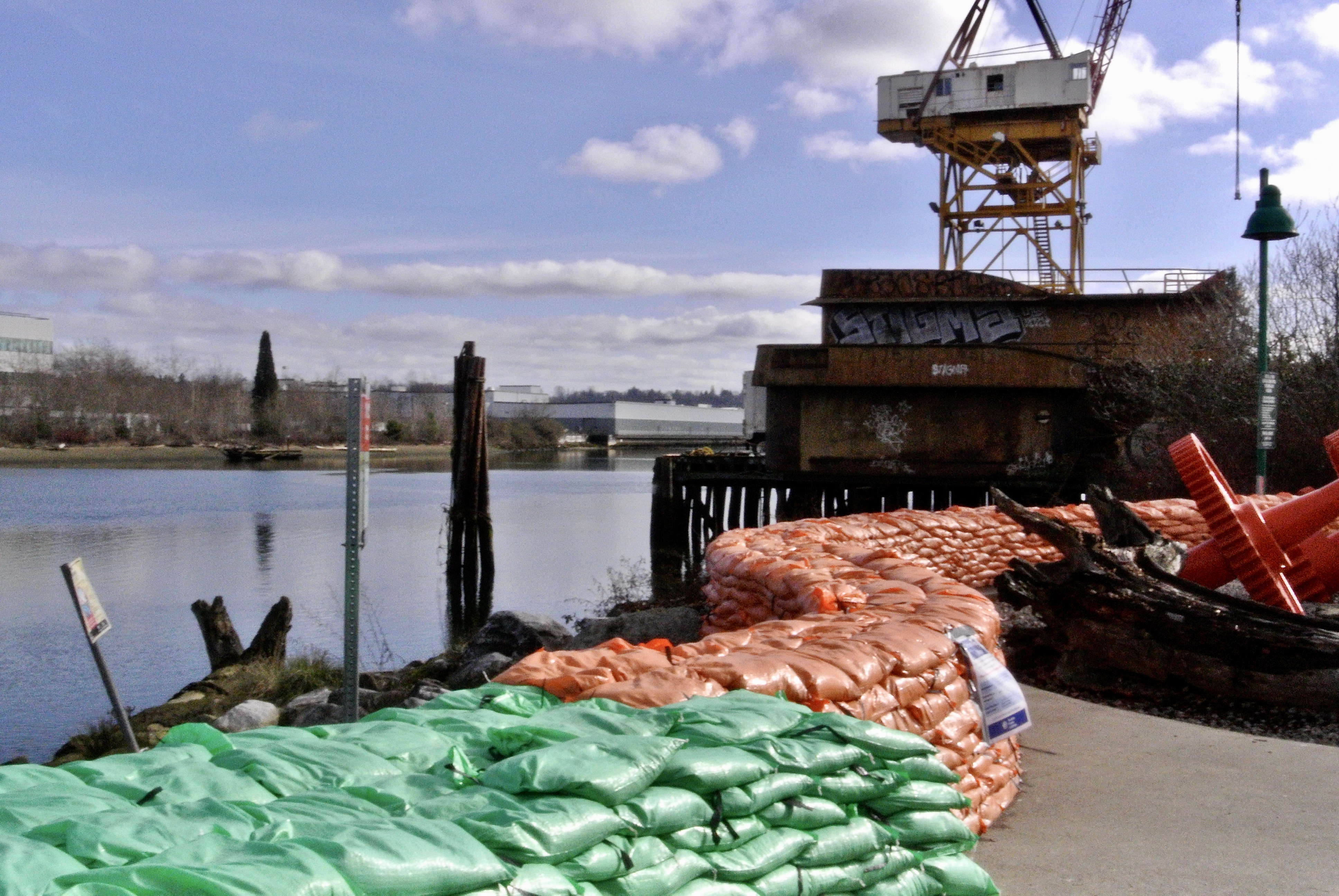


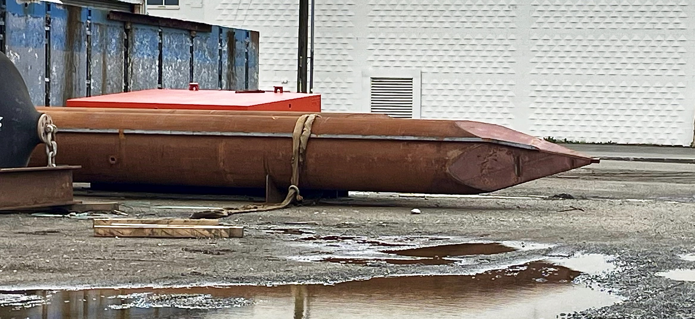
One of the locations that I have been shooting for the past decade is the South Park neighborhood in SW Seattle. Part of the reason for photo documenting this neighborhood is that I actually lived in the area for a short time before starting school. Also, it has been a neighborhood in transition for decades; it’s part residential, part light manufacturing and part indigenous heritage. This makes for an interesting mix.
This past winter we had both a very high tide and exceptional rainfall event. The result was that the Duwamish River overflowed its bank by two feet, which caused residential flooding. The city came in with a Laundry Trailer, which is still there, months later. Also, not pictured, is all of the POD units the city brought in for residents to store their non-flooded items. Basements were severely flooded in those houses closest to the river. The sandbags you see ( orange and green) were used to build a three foot wall, unfortunately this was done after the flooding event. The city has left most of the sandbags in place. I’m not sure what the overall plan is, going forward. In all of my years of spending time in this neighborhood I have never seen flood mitigation done on this scale. ( just as an aside- The Duwamish River was the very first EPA Superfund Site. Most of the offending industries have left this area, moving away from the river. However, after 50+ years, it is safe to say the federal government is slow-walking the cleanup. It would take a monumental dredging operation to clean up all of the heavy metals and toxins that have long settled on the river bottom).
I’ve been sitting on these photos and more for months as I just wasn’t sure how to present the after effects of an unusual flood event.
Committed to amplifying underground independent sounds.
We Live In A Dynamic Universe of Energy
Finding the Extraordinary in Ordinary, Everyday Life
The Dedicated Blog for Inga Maria Hauser
Taking Control... Learning Contentment
Street and Urban Explorer Photography
Just another WordPress.com site
The Truth Sets Us Free
A daily selection of the best content published on WordPress, collected for you by humans who love to read.
Street and Urban Explorer Photography
Child Abuse and the Occult
The Random Things We See
Street and Urban Explorer Photography