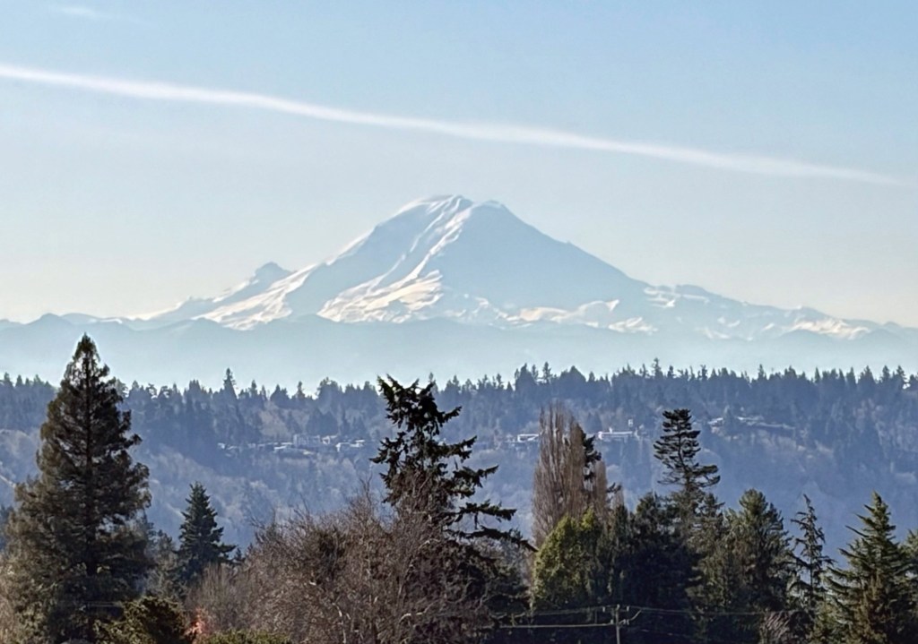
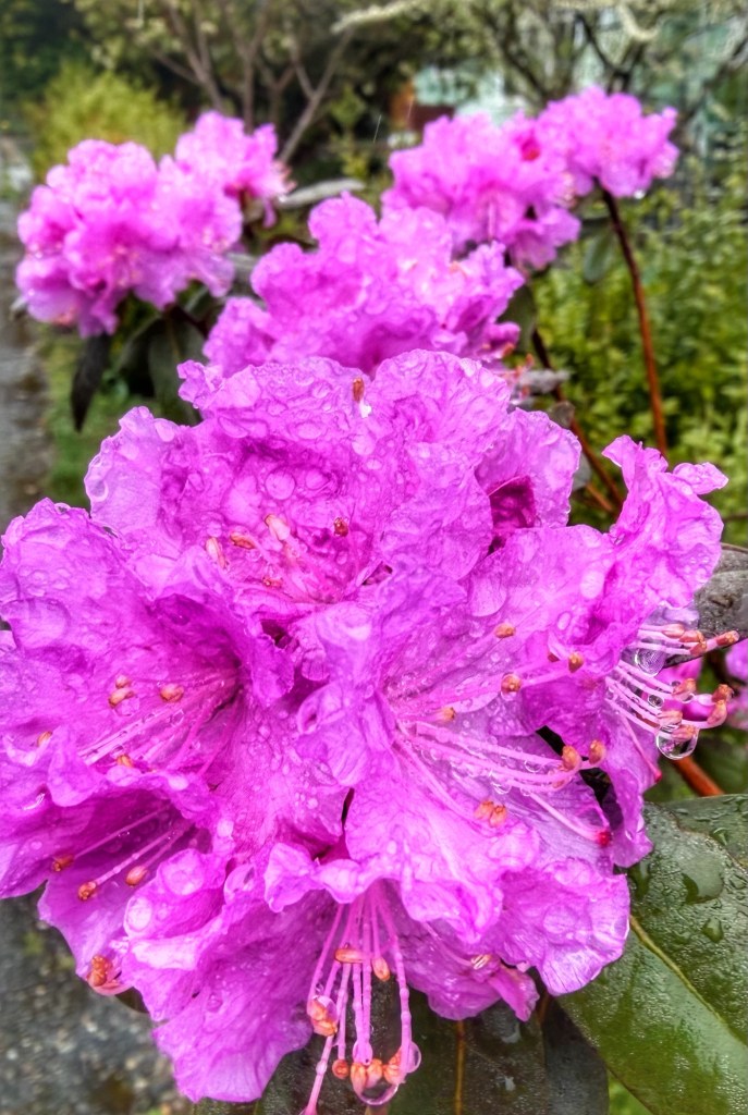
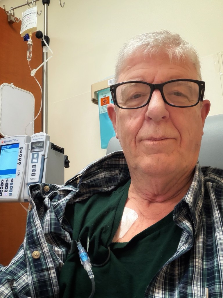
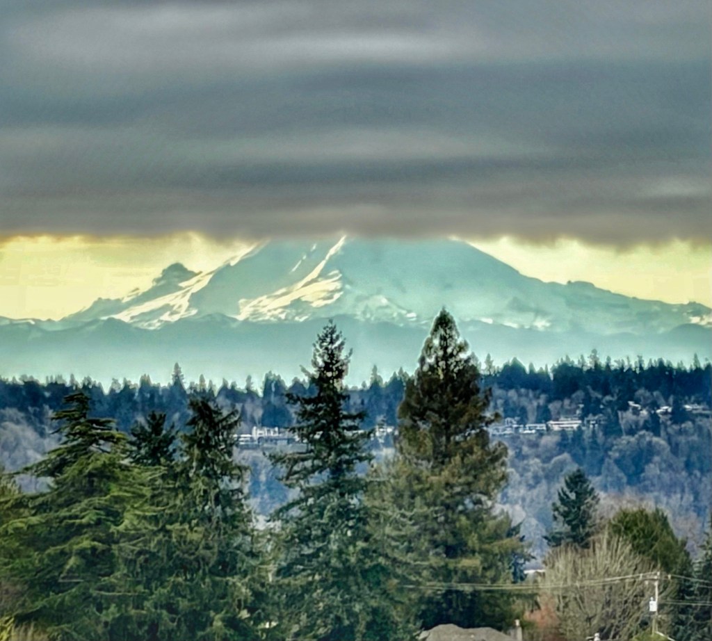
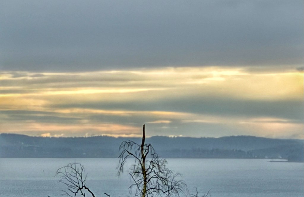
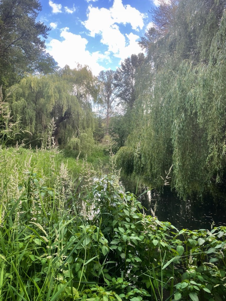
A few early Spring images from Seattle. Also, a shot me at the Cancer Center getting my 17th immunotherapy infusion.

A few early Spring images from Seattle. Also, a shot me at the Cancer Center getting my 17th immunotherapy infusion.
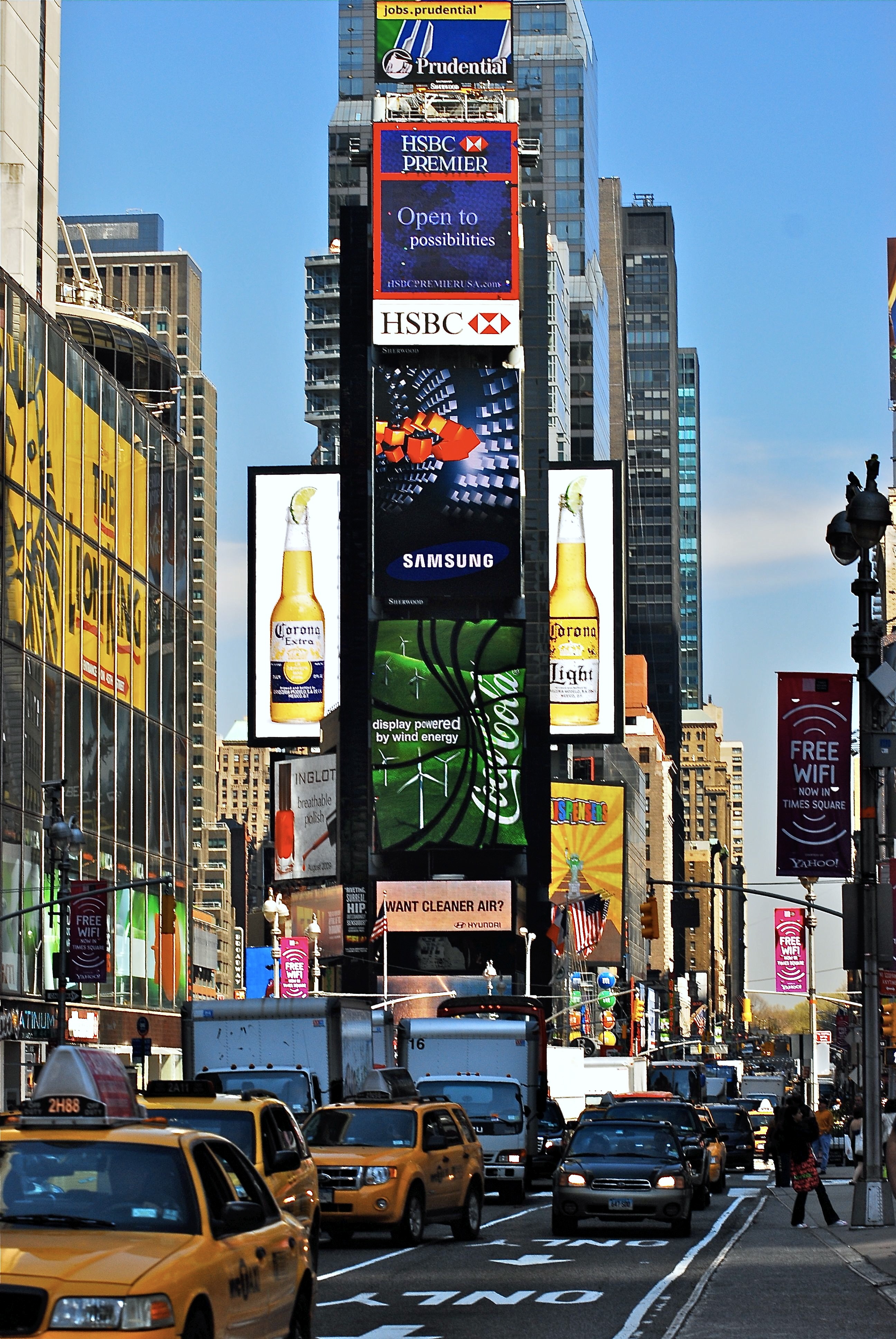

Times Square and a Mid-town Manhattan street fair.
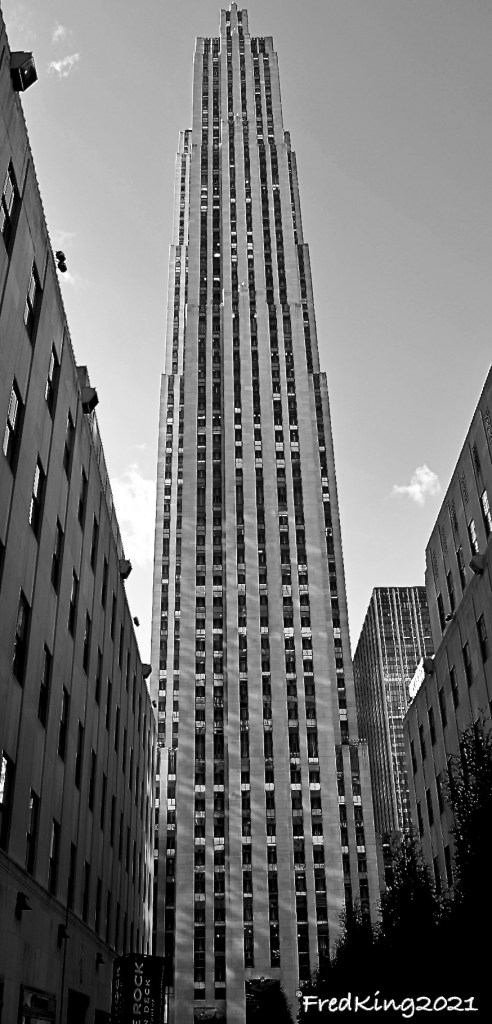


Taken years ago. Top image is of the Manhattan Bridge-from the Brooklyn side of East River (DUMBO are= Down Under the Manhattan Bridge Overpass).
Bottom Image: Brooklyn Bridge in background – taken 2012.


8 years late in getting these posted. Life can be distracting 😉.
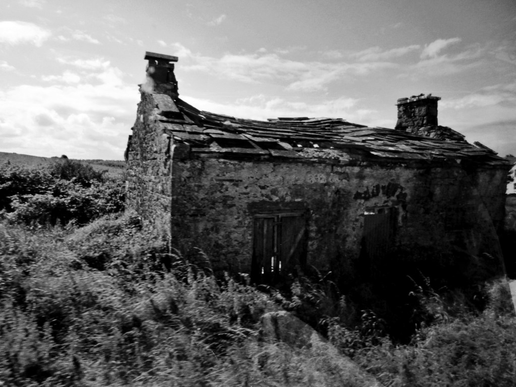
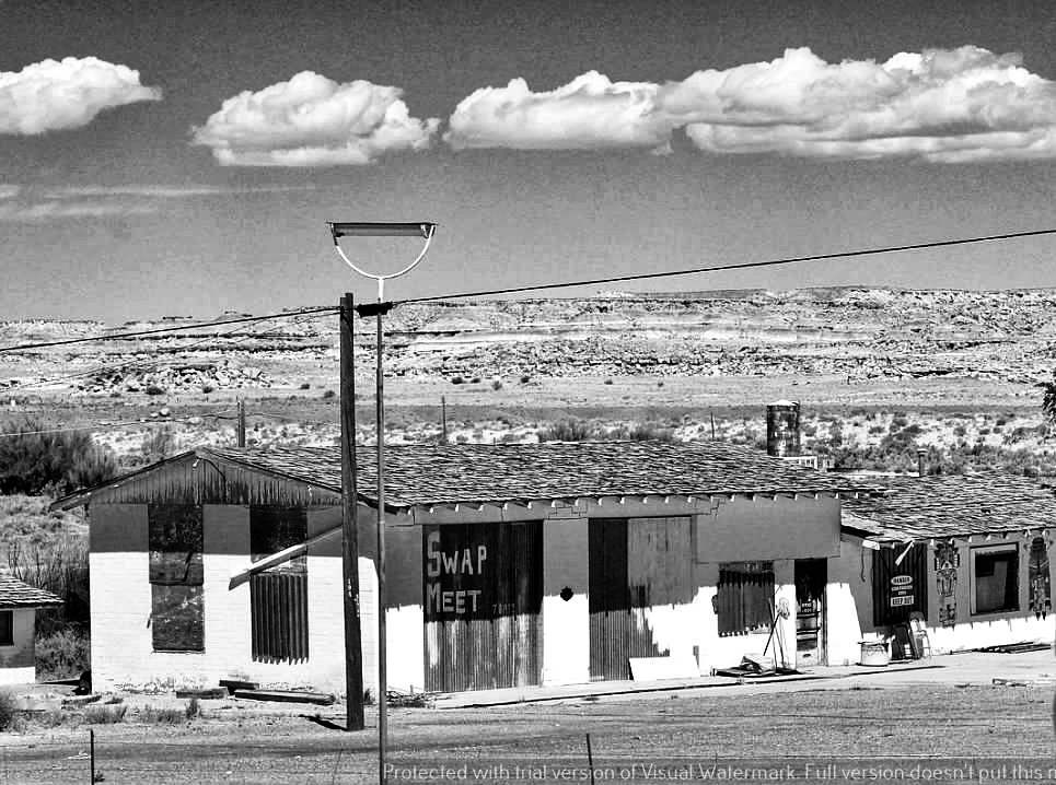
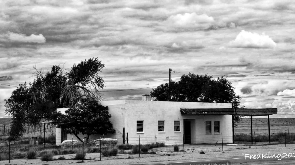
Abandoned, Ireland, 2016.

Health update: I have a CT needle biopsy this Thursday morning.
Good juju welcome! 🙏🏻.
Be well.
Update-
6 June 2024:
Pathology report came back positive for cancer. I’ll meet with doctors on the 19th and 20th to discuss next steps. Disappointing, but not surprising. This is the third chapter in my cancer journey, which initially started back in early 2019.
🙏🏻

Committed to amplifying underground independent sounds.
We Live In A Dynamic Universe of Energy
Finding the Extraordinary in Ordinary, Everyday Life
The Dedicated Blog for Inga Maria Hauser
Taking Control... Learning Contentment
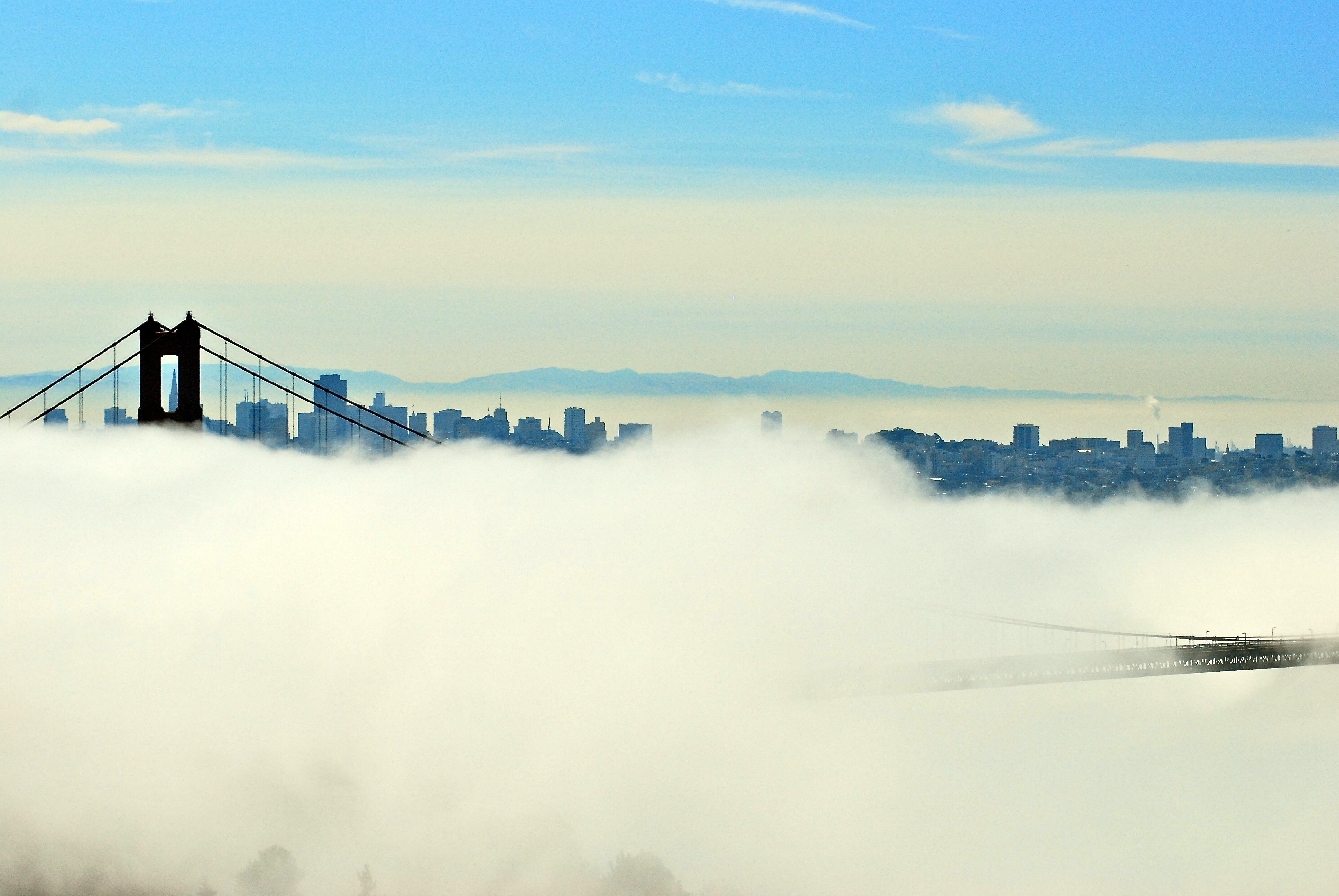
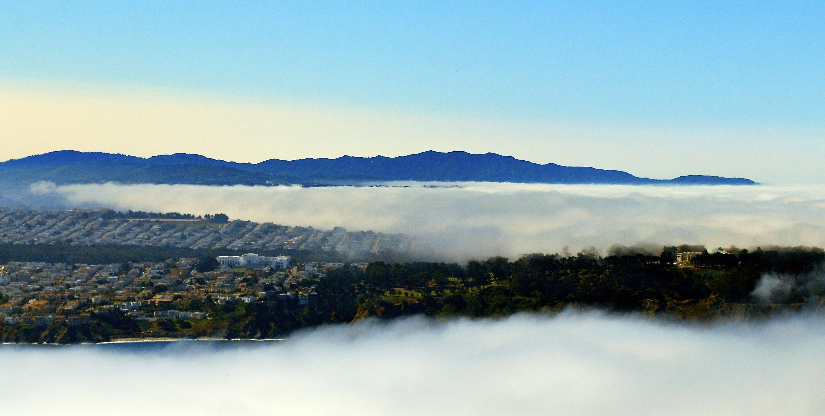
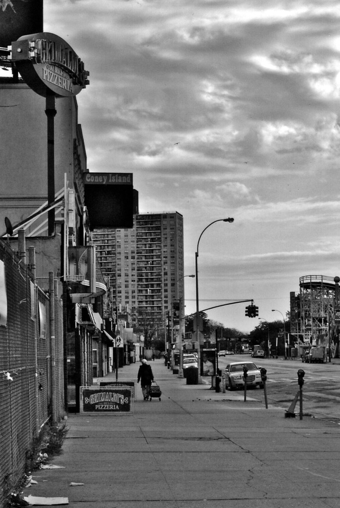
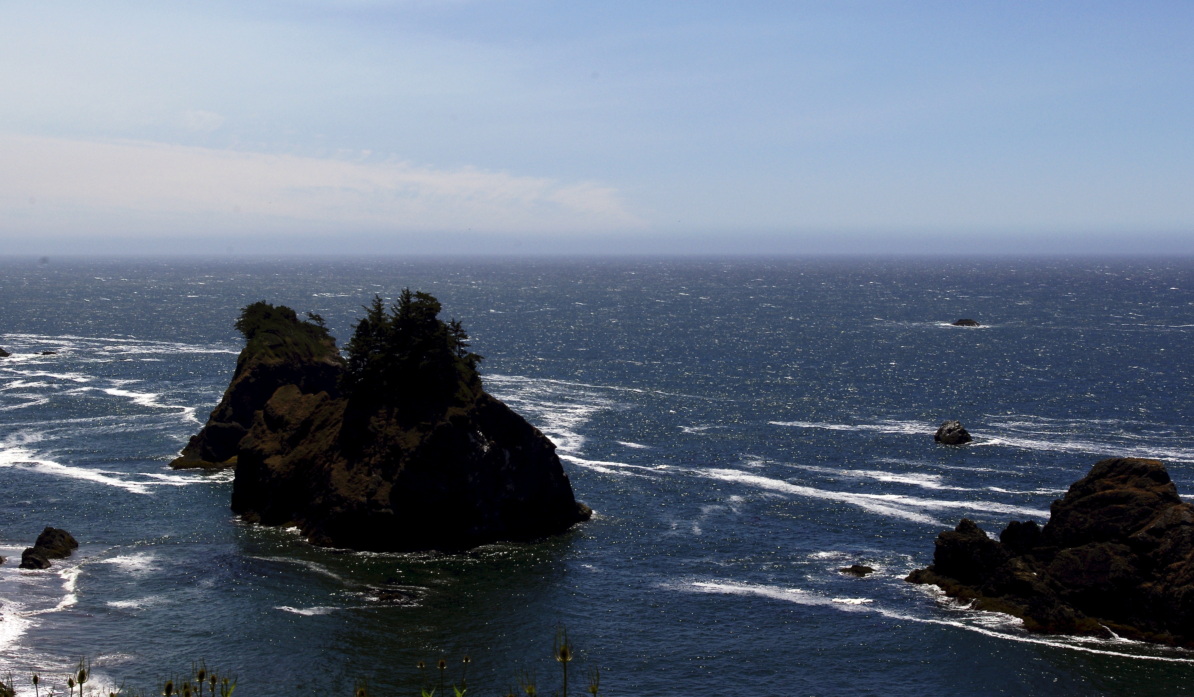
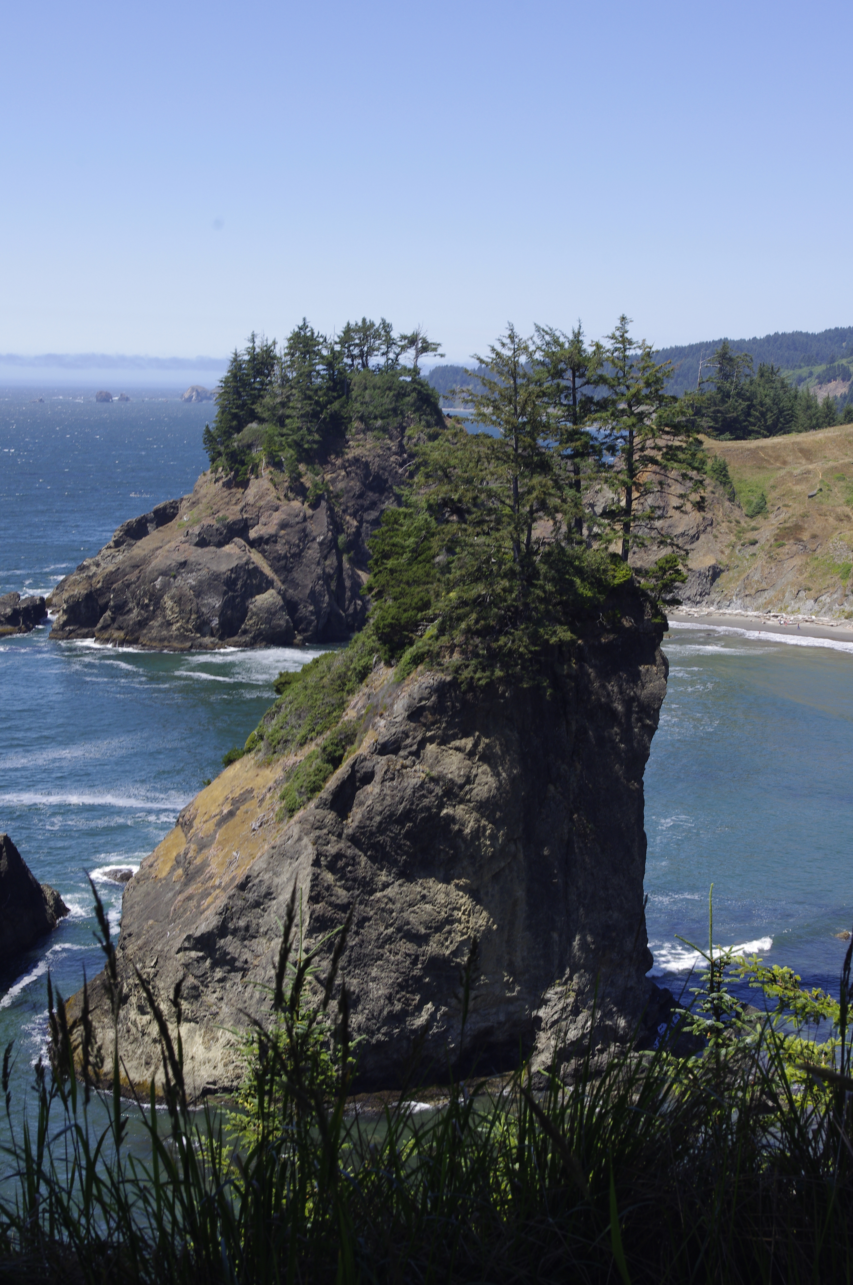
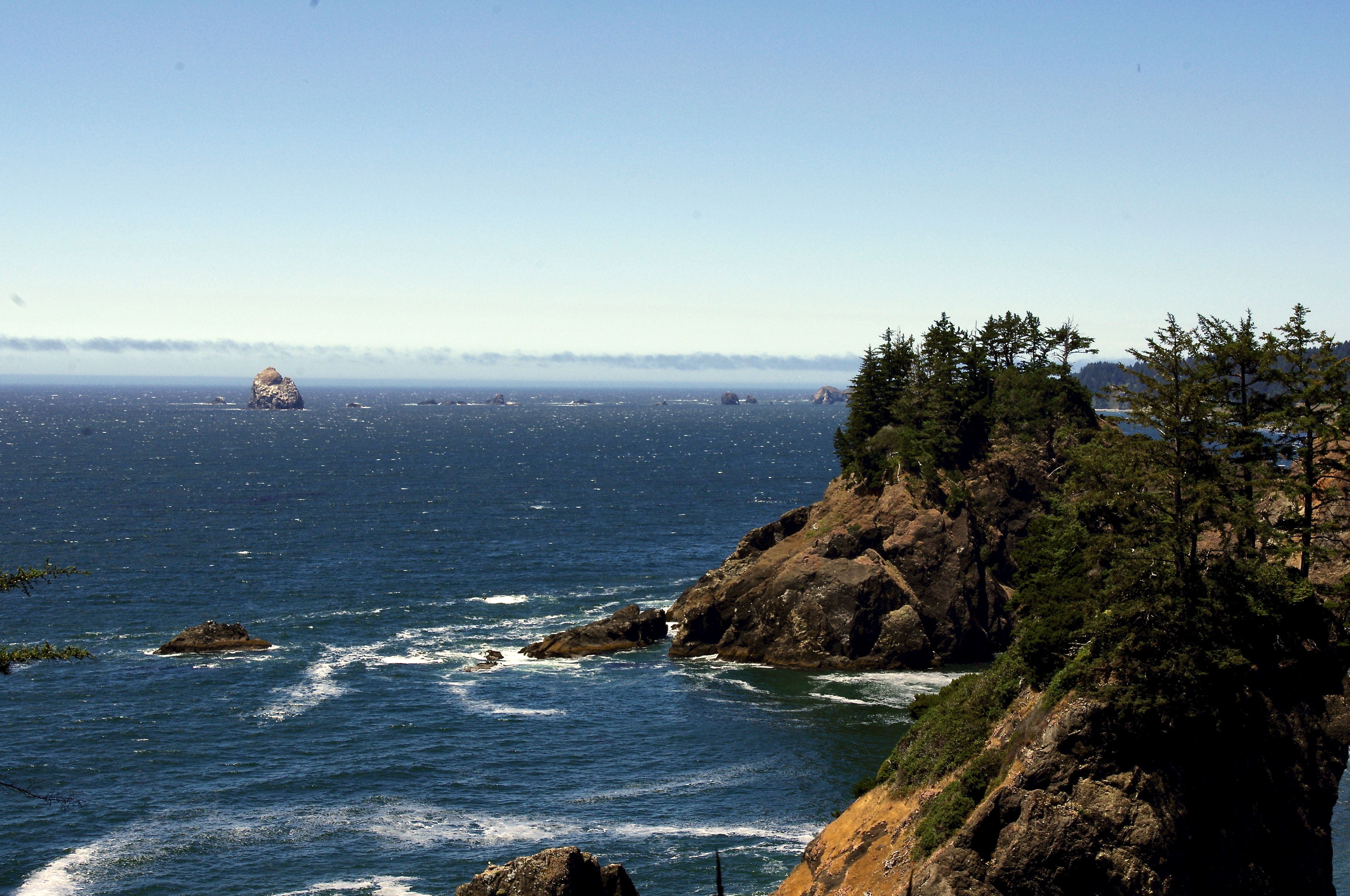
Street and Urban Explorer Photography
Just another WordPress.com site
The Truth Sets Us Free
A daily selection of the best content published on WordPress, collected for you by humans who love to read.
Street and Urban Explorer Photography
Child Abuse and the Occult
The Random Things We See
Street and Urban Explorer Photography