


Two large barges being moved both up and down river by tugs. A lot of containerized freight is staged up river for transport to Alaska. I know of two large operations, one either side of the river, that specialize in collecting and forwarding freight to Alaska ( one of which I actually did a job interview for about 30 years ago-fortunately I didn’t get the job). It’s not unusual to see vehicles of all types perched on top of a stack of containers heading north. What I found fascinating is that these barges draw little water and leave hardly a noticeable wake in the path. A small speedboat, on the other hand, will create all sorts of noise and a wake that sends the ducks scurrying and bobbing about :-).


The image with the bridge is a northwestern view. The bridge is the West Seattle High Rise. The image with the most clouds is a southern view.
The Duwamish River is a working river as well as one used for transit out into Elliott Bay by fisherman and recreational use. The next posting will highlight some of those activities.


A couple of weeks ago I went to a spot on the east side Duwamish River that I didn’t know existed. Much of what I have posted, regarding the Duwamish River over the years, has been taken from the west side at various locations. The Port of Seattle owns this access point, adjacent to the new Federal Building above ( something else I had no idea existed as it is set quite a ways back from East Marginal Way).


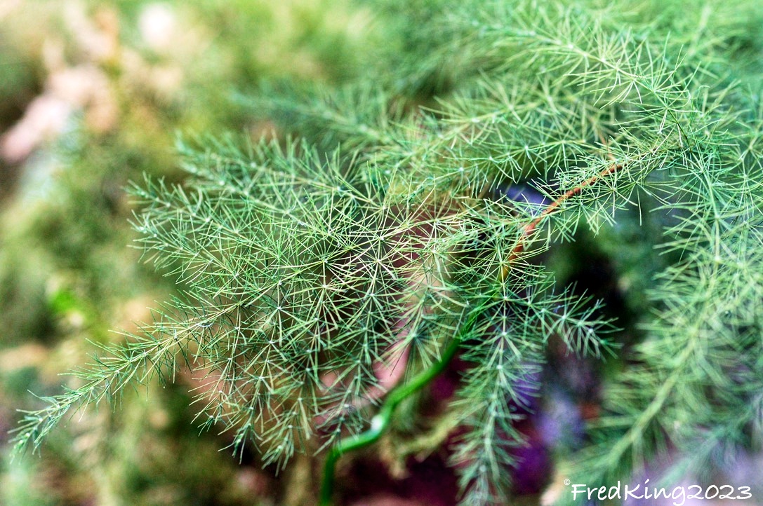
This area, like many along the Duwamish River, used to be inhabited by indigenous peoples. Rich in history that is almost totally overlooked by Seattleites today. I know the signs are not readable in the photos, but if you can zoom in and maybe find a few keywords to Google, you might be able to dive deeper into the history of this area. The Duwamish River used to snake its way down to Elliott Bay, but in the past ( probably for reasons of commerce) the river’s curvy path was straightened out to what it is today.
The Duwamish River, which I find fascinating, is the first EPA Superfund Site in the US and is still a work in progress 47 years on. This says something about the scope of cleaning a river estuary. Although the area is much cleaner and less polluted today, it still has a way to go. Many of the heavy polluting businesses that were located along the river have since moved or closed down. I think dredging the river bottom is not a possibility as it would stir up much of the heavy metals, etc. Similarly, in Brooklyn, NYC, I have been following the efforts to clean up the Gowanus Canal, which was declared a superfund site a few years ago. This past Fall, a Portland, Oregon company was awarded the first contract to do a superficial dredging to remove debris that was sitting on the bottom of one small section of the canal, without disturbing the sediment. I was there the week this was being done. It was just a pilot project, but was fascinating to watch. A rep from the Portland company was on site to both watch over the pilot dredging, but to be available to answer questions from the public ( such as me, who pestered her for about 30 minutes, till it started to rain). The Portland company actually contracted with the company that dredged the Love Canal decades ago, as they had the expertise and equipment to perform this sensitive work. With the new administration coming in last January, all work on the Gowanus Canal is up in the air, even though monies were allocated to get the project going.
If interested, there is a lot of info online. If you dig back in my posts to around last November ( 11th and 13th) I think I posted a few photos of the initial dredging of the small section of the Gowanus Canal. I also did a couple of Facebook check-in type postings showing the barge and crane at work.
Will be posting more from this site on the Duwamish River over the next couple of weeks. My apologies for getting a bit sidetracked. There are similarities between the two sites that I find fascinating.
Committed to amplifying underground independent sounds.
We Live In A Dynamic Universe of Energy
Finding the Extraordinary in Ordinary, Everyday Life
The Dedicated Blog for Inga Maria Hauser
Taking Control... Learning Contentment
Street and Urban Explorer Photography
Just another WordPress.com site
The Truth Sets Us Free
A daily selection of the best content published on WordPress, collected for you by humans who love to read.
Street and Urban Explorer Photography
Child Abuse and the Occult
The Random Things We See
Street and Urban Explorer Photography


